
Texas Drone Services that streamlines client onboarding
01
Consultation & Project Scoping
We begin with a free consultation (phone, email, or virtual meeting). We gather details: project goals, location, timelines, required deliverables (e.g., orthomosaic, 3D model, volumetric measurements). We assess feasibility, review airspace conditions, and prepare a clear, itemized quote.
02
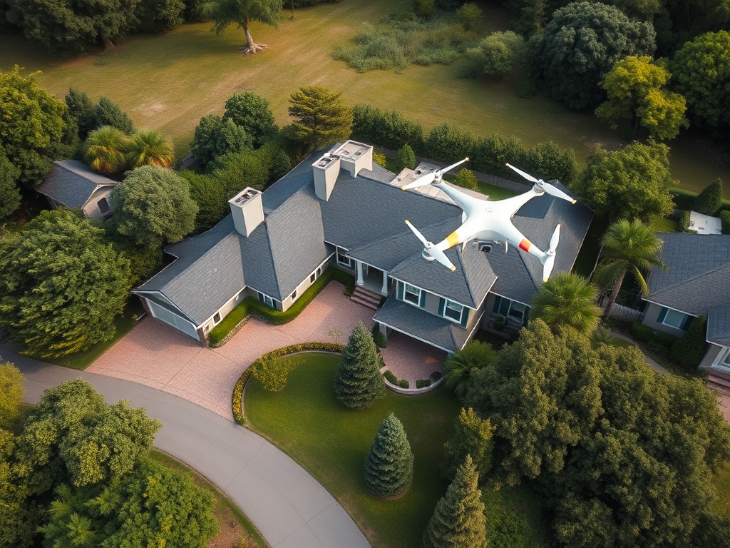
On-Site Data Acquisition & Processing
Our FAA-certified pilot conducts all required pre-flight checks. We fly using survey-grade drones (e.g., DJI Phantom 4) for precise data collection. Data is securely backed up and processed into high-resolution deliverables using premium software like Pix4D or DroneDeploy.
03
Delivery & Continued Support
Clients receive their final deliverables (GeoTIFFs, PDFs, JPGs, videos) via secure cloud links. We provide a brief, clear report explaining results and are available for post-project Q&A or revisions. We follow up for feedback and discuss future project support or retainers (e.g., monthly progress monitoring).
Successful Drone Missions
Real Estate Agencies & Brokers
Demand for compelling aerial marketing imagery, large property mapping, and development site assessment.

Land Developers
Businesses involved in acquiring, planning, and developing land parcels for residential or commercial use.

General Contractors & Construction Firms
Companies of varying sizes involved in residential, commercial, and infrastructure projects needing site data for planning, execution, and management.
© 2025 All Rights Reserved.